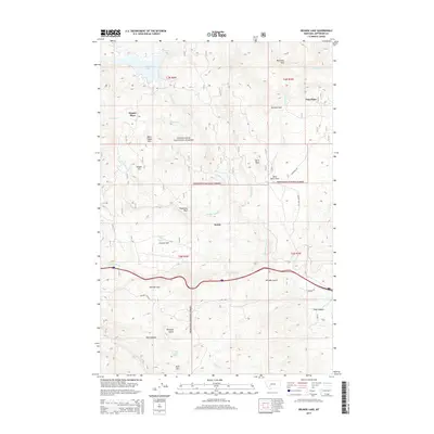
2014 Map of Delmoe Lake
USGS Topo · Published 2014About this map
Delmoe Lake sits at the heart of this high-elevation landscape within the Deerlodge National Forest, where a network of creeks and springs defines the remote terrain of Jefferson County. The map documents scattered residential sites and historic outposts like Pappas Place and Paul Place, while the settlement of Welch marks a node in the southern portion of the quadrangle. Topographical landmarks such as McClusky Mtn, Black Sheep Mtn, and the distinctive Spire Rock rise above the drainage basins of Homestake Cr and Big Pipestone Cr.
Find a feature on this map
39 named features on this map. Tap any name to fly to it.
Don’t see what you’re looking for? This feature index may not catch every label — zoom into the map to look around manually.
Map Details
Editions of this 2014 Delmoe Lake Map
This is the sole edition of this map. No revisions or reprints were ever made.
Other maps of this area

1889 · Helena
USGS Topo · 1:250,000

1893 · Helena
USGS Topo · 1:250,000

1893 · Dillon
USGS Topo · 1:250,000

1899 · Boulder
USGS Topo · 1:125,000

1899 · Helena
USGS Topo · 1:250,000

1903 · Helena
USGS Topo · 1:250,000

1947 · Butte
USGS Topo · 1:250,000

1954 · Elk Park
USGS Topo · 1:62,500

1954 · Boulder
USGS Topo · 1:62,500

1955 · Dillon
USGS Topo · 1:250,000