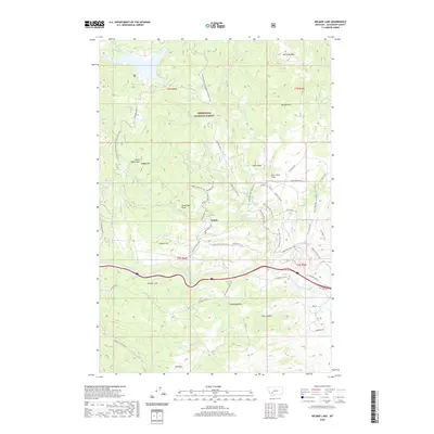
2020 Map of Delmoe Lake
USGS Topo · Published 2020About this map
Deerlodge National Forest dominates the high-country landscape of Jefferson County, where the Continental Divide National Scenic Trail winds through granite peaks and timbered slopes. The namesake Delmoe Lake sits at the northern edge of this survey, serving as a focal point for the mountain drainage systems of Haney Creek and Halfway Creek. The topography is defined by dramatic geologic features such as Spire Rock and Pipestone Rock, which rise above the level clearings of Spire Rock Flats and Delmoe Park.
Find a feature on this map
52 named features on this map. Tap any name to fly to it.
Don’t see what you’re looking for? This feature index may not catch every label — zoom into the map to look around manually.
Map Details
Editions of this 2020 Delmoe Lake Map
This is the sole edition of this map. No revisions or reprints were ever made.
Other maps of this area

1889 · Helena
USGS Topo · 1:250,000

1893 · Helena
USGS Topo · 1:250,000

1893 · Dillon
USGS Topo · 1:250,000

1899 · Boulder
USGS Topo · 1:125,000

1899 · Helena
USGS Topo · 1:250,000

1903 · Helena
USGS Topo · 1:250,000

1947 · Butte
USGS Topo · 1:250,000

1954 · Elk Park
USGS Topo · 1:62,500

1954 · Boulder
USGS Topo · 1:62,500

1955 · Dillon
USGS Topo · 1:250,000