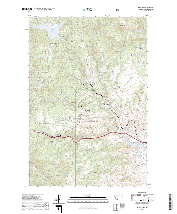
2024 Map of Delmoe Lake
USGS Topo · Published 2024About this map
Deerlodge National Forest encompasses this high-altitude landscape of the Boulder Mountains in Jefferson County. The terrain is defined by a series of prominent peaks and flats, including McClusky Mtn and Black Sheep Mtn, which overlook the waters of Delmoe Lake. This 2024 map documents a complex network of recreation and transit, most notably the Continental Divide National Scenic Trl as it winds north through the mountains.
Find a feature on this map
50 named features on this map. Tap any name to fly to it.
Don’t see what you’re looking for? This feature index may not catch every label — zoom into the map to look around manually.
Map Details
Editions of this 2024 Delmoe Lake Map
This is the sole edition of this map. No revisions or reprints were ever made.
Other maps of this area

1889 · Helena
USGS Topo · 1:250,000

1893 · Helena
USGS Topo · 1:250,000

1893 · Dillon
USGS Topo · 1:250,000

1899 · Boulder
USGS Topo · 1:125,000

1899 · Helena
USGS Topo · 1:250,000

1903 · Helena
USGS Topo · 1:250,000

1947 · Butte
USGS Topo · 1:250,000

1954 · Elk Park
USGS Topo · 1:62,500

1954 · Boulder
USGS Topo · 1:62,500

1955 · Dillon
USGS Topo · 1:250,000