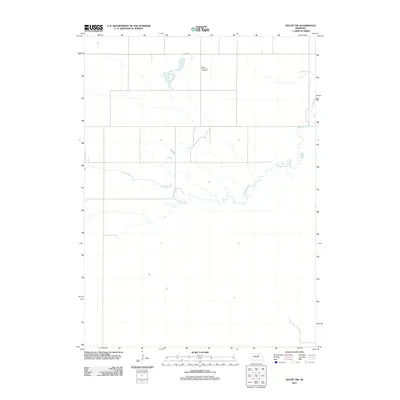
2011 Map of Deloit SW
USGS Topo · Published 2011About this map
Saint Anthonys Cemetery sits along the northern edge of this landscape, serving as a primary point of interest for genealogists and local historians tracing families in this part of Holt County. The terrain is defined by the winding course of Clearwater Creek, which meanders across the central and eastern portions of the map. This 2011 survey highlights a rural Nebraska environment dominated by a systematic grid of section lines and local thoroughfares like 848th Rd. The sparse distribution of named features emphasizes the open, agricultural character of the region during the early 21st century, where watercourses and small cemeteries often mark the most significant landmarks on the prairie.
Find a feature on this map
3 named features on this map. Tap any name to fly to it.
Don’t see what you’re looking for? This feature index may not catch every label — zoom into the map to look around manually.
Map Details
Editions of this 2011 Deloit SW Map
This is the sole edition of this map. No revisions or reprints were ever made.
Other maps of this area

1954 · Bartlett
USGS Topo · 1:24,000

1955 · Broken Bow
USGS Topo · 1:250,000

1955 · O'Neill
USGS Topo · 1:250,000

1956 · Broken Bow
USGS Topo · 1:250,000

1959 · O'Neill
USGS Topo · 1:250,000

1960 · Spalding 2 NW
USGS Topo · 1:24,000

1960 · Spalding 2 NE
USGS Topo · 1:24,000

1963 · Deloit
USGS Topo · 1:24,000

1963 · Deloit SW
USGS Topo · 1:24,000

1963 · Deloit NE
USGS Topo · 1:24,000