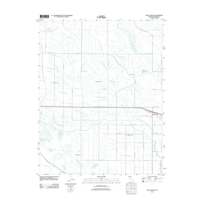
2012 Map of Delta Ranch
USGS Topo · Published 2012About this map
Dos Palos Y serves as a central hub in this agricultural landscape of Merced County, where an intricate network of irrigation and drainage infrastructure defines the Central Valley terrain. The map details a sophisticated water management system comprising the Colony Main Canal, Lone Tree Canal, and Community Ditch, alongside numerous specialized channels like Machado Ditch and Tambellini Ditch. These waterways support a series of significant land holdings, including the Delta Ranch, San Juan Ranch, and the Miller and Lux Ranch. To the northeast, the San Joaquin River and Salt Slough provide the natural hydrologic backbone for the region. The map also captures several private recreational or agricultural outposts such as the Sportsman Ranch and Circle Six Ranch, reflecting the varied land use between intensive cultivation and open wetlands near Big Water Lake.
Find a feature on this map
79 named features on this map. Tap any name to fly to it.
Don’t see what you’re looking for? This feature index may not catch every label — zoom into the map to look around manually.
Map Details
Editions of this 2012 Delta Ranch Map
This is the sole edition of this map. No revisions or reprints were ever made.
Other maps of this area

1913 · Panoche
USGS Topo · 1:125,000

1916 · Santa Rita Bridge
USGS Topo · 1:24,000

1916 · Delta Ranch
USGS Topo · 1:24,000

1918 · Sandy Mush
USGS Topo · 1:31,680

1918 · Turner Ranch
USGS Topo · 1:31,680

1919 · San Luis Ranch
USGS Topo · 1:31,680

1920 · Santa Rita Bridge
USGS Topo · 1:31,680

1921 · Los Banos
USGS Topo · 1:31,680

1922 · Oxalis
USGS Topo · 1:31,680

1922 · Santa Rita Bridge
USGS Topo · 1:31,680