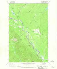
1966 Map of Demers Ridge
USGS Topo · Published 1970About this map
Glacier National Park and the adjacent Coal Creek State Forest define this mid-1960s landscape, divided by the winding path of the Flathead River (North Fork). The map documents a wilderness infrastructure of service outposts and early recreational access points, including the Logging Creek Ranger Station, the Patrol Cabin near Logging Lake, and the Camas Creek Entrance. Transportation is limited to rugged routes like the North Fork Road and an extensive network of pack trails, such as the Logging Pack Trail and the Demers Pack Trail, which navigate the steep elevations of Demers Ridge and Logging Ridge. This era shows the region's balance between resource management and conservation, where a lone Mine and the Home Ranch Bottoms sit in close proximity to protected lands and campgrounds like Quartz Creek Campground.
Find a feature on this map
36 named features on this map. Tap any name to fly to it.
Don’t see what you’re looking for? This feature index may not catch every label — zoom into the map to look around manually.
Map Details
Editions of this 1966 Demers Ridge Map
This is the sole edition of this map. No revisions or reprints were ever made.
Other maps of this area

1906 · Kintla Lakes
USGS Topo · 1:125,000

1938 · Kintla Lakes
USGS Topo · 1:125,000

1957 · Kalispell
USGS Topo · 1:250,000

1960 · Kalispell
USGS Topo · 1:250,000

1961 · Kalispell
USGS Topo · 1:250,000
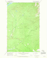
1966 · Camas Ridge West
USGS Topo · 1:24,000
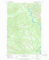
1966 · Huckleberry Mountain
USGS Topo · 1:24,000
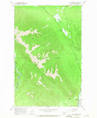
1966 · Mc Gee Meadow
USGS Topo · 1:24,000
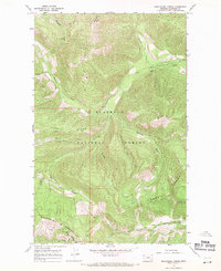
1966 · Skookoleel Creek
USGS Topo · 1:24,000
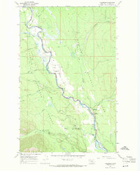
1966 · Polebridge
USGS Topo · 1:24,000