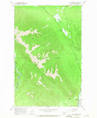
1966 Map of Mc Gee Meadow
USGS Topo · Published 1971About this map
Glacier National Park defines the high-elevation terrain of this mid-1960s survey, dominated by the prominent ridge of the Apgar Mountains. The landscape transitions from the riparian corridors of the North Fork Flathead River on the western edge to the complex drainage systems of McGee Creek and Fish Creek in the interior. This map documents a specific phase of park infrastructure, showing Glacier Route Eight and Glacier Route Seven winding through the timber, alongside specialized features like the Aqueduct near the southern boundary.
Find a feature on this map
22 named features on this map. Tap any name to fly to it.
Don’t see what you’re looking for? This feature index may not catch every label — zoom into the map to look around manually.
Map Details
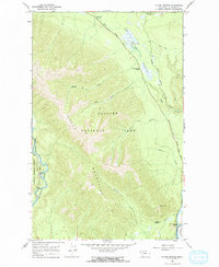
Editions of this 1966 Mc Gee Meadow Map
2 editions found
Other maps of this area

1904 · Chief Mountain
USGS Topo · 1:125,000

1906 · Kintla Lakes
USGS Topo · 1:125,000

1914 · Nyack
USGS Topo · 1:125,000

1938 · Chief Mountain
USGS Topo · 1:125,000

1938 · Kintla Lakes
USGS Topo · 1:125,000

1943 · Kalispell
USGS Topo · 1:125,000

1957 · Kalispell
USGS Topo · 1:250,000

1960 · Kalispell
USGS Topo · 1:250,000

1960 · Cut Bank
USGS Topo · 1:250,000

1961 · Kalispell
USGS Topo · 1:250,000