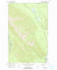
1966 Map of Mc Gee Meadow
USGS Topo · Published 1972About this map
The Apgar Mountains dominate this 1966 topographic survey of northwestern Montana, where the rugged terrain of Glacier National Park meets the Flathead National Forest. High-elevation landmarks like the Apgar Lookout and the Camas Creek Overlook provide vantage points over a landscape defined by seasonal waters and steep ridges. The map details essential backcountry infrastructure, including the Glacier Route Eight, the Howe Lake Trail, and the Aqueduct near the southern boundary.
Find a feature on this map
41 named features on this map. Tap any name to fly to it.
Don’t see what you’re looking for? This feature index may not catch every label — zoom into the map to look around manually.
Map Details
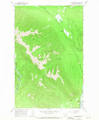
Editions of this 1966 Mc Gee Meadow Map
2 editions found
Other maps of this area

1904 · Chief Mountain
USGS Topo · 1:125,000

1906 · Kintla Lakes
USGS Topo · 1:125,000

1914 · Nyack
USGS Topo · 1:125,000

1938 · Chief Mountain
USGS Topo · 1:125,000

1938 · Kintla Lakes
USGS Topo · 1:125,000

1943 · Kalispell
USGS Topo · 1:125,000

1957 · Kalispell
USGS Topo · 1:250,000

1960 · Kalispell
USGS Topo · 1:250,000

1960 · Cut Bank
USGS Topo · 1:250,000

1961 · Kalispell
USGS Topo · 1:250,000