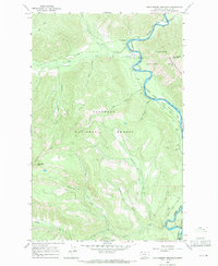
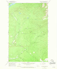
1966 Map of Huckleberry Mountain
USGS Topo · Published 1971About this map
The Flathead River (North Fork) serves as a natural boundary in this mid-1960s landscape, dividing the Flathead National Forest to the west from Glacier National Park to the east. This area is defined by the intersection of administrative and recreational management, featuring the Big Creek Work Center and its associated Guard Sta alongside the Big Creek Campground and Upper Big Creek Campground.
Find a feature on this map
26 named features on this map. Tap any name to fly to it.
Don’t see what you’re looking for? This feature index may not catch every label — zoom into the map to look around manually.
Map Details
Editions of this 1966 Huckleberry Mountain Map
2 editions found
Other maps of this area

1906 · Kintla Lakes
USGS Topo · 1:125,000

1938 · Kintla Lakes
USGS Topo · 1:125,000

1943 · Kalispell
USGS Topo · 1:125,000

1957 · Kalispell
USGS Topo · 1:250,000

1960 · Kalispell
USGS Topo · 1:250,000

1961 · Kalispell
USGS Topo · 1:250,000

1962 · Hungry Horse
USGS Topo · 1:24,000
1962 · Whitefish
USGS Topo · 1:24,000
1962 · Columbia Falls North
USGS Topo · 1:24,000
1966 · Camas Ridge West
USGS Topo · 1:24,000