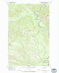
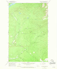
1966 Map of Huckleberry Mountain
USGS Topo · Published 1971About this map
Flathead River (North Fork) serves as the defining boundary between the high peaks of Glacier National Park and the timbered slopes of Flathead National Forest in this mid-1960s survey. The landscape is dominated by the Apgar Mountains and the Smoky Range, with elevations rising sharply toward Huckleberry Mountain and Standard Peak. Human activity is concentrated along the river valley and the drainages of Big Creek, where the Big Creek Work Center and a Guard Sta suggest the active management of these public lands.
Find a feature on this map
25 named features on this map. Tap any name to fly to it.
Don’t see what you’re looking for? This feature index may not catch every label — zoom into the map to look around manually.
Map Details
Editions of this 1966 Huckleberry Mountain Map
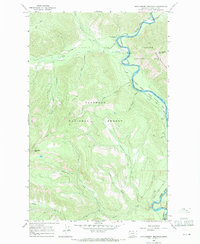
2 editions found
Other maps of this area

1906 · Kintla Lakes
USGS Topo · 1:125,000

1938 · Kintla Lakes
USGS Topo · 1:125,000

1943 · Kalispell
USGS Topo · 1:125,000

1957 · Kalispell
USGS Topo · 1:250,000

1960 · Kalispell
USGS Topo · 1:250,000

1961 · Kalispell
USGS Topo · 1:250,000

1962 · Hungry Horse
USGS Topo · 1:24,000
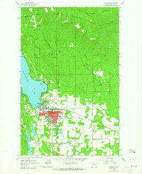
1962 · Whitefish
USGS Topo · 1:24,000
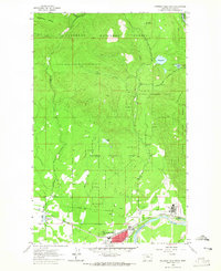
1962 · Columbia Falls North
USGS Topo · 1:24,000
1966 · Camas Ridge West
USGS Topo · 1:24,000