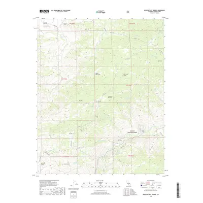
2018 Map of Democrat Hot Springs
USGS Topo · Published 2018About this map
The Kern River carves through the southern reach of the Sequoia National Forest, defining a landscape of steep canyons and scattered water sources. This 2018 survey documents a region where historic routes like the Rattlesnake Grade and Burke Grade navigate the dramatic elevation changes between Ball Mtn and the Greenhorn Mountains. A notable concentration of natural springs, including Democrat Spring, Oscar Meyer Spring, and the eponymous Democrat Hot Springs, suggests a long history of water-driven settlement and recreation in this part of Kern County.
Find a feature on this map
58 named features on this map. Tap any name to fly to it.
Don’t see what you’re looking for? This feature index may not catch every label — zoom into the map to look around manually.
Map Details
Editions of this 2018 Democrat Hot Springs Map
This is the sole edition of this map. No revisions or reprints were ever made.
Other maps of this area

1914 · Caliente
USGS Topo · 1:125,000

1920 · Delonagha
USGS Topo · 1:62,500

1926 · Glennville
USGS Topo · 1:62,500

1932 · Woody
USGS Topo · 1:62,500

1935 · Woody
USGS Topo · 1:62,500

1936 · Tobias Peak
USGS Topo · 1:125,000

1943 · Breckenridge Mountain
USGS Topo · 1:62,500

1943 · Tobias Peak
USGS Topo · 1:125,000

1948 · Bakersfield
USGS Topo · 1:250,000
1952 · Woody
USGS Topo · 1:62,500