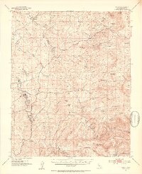
1952 Map of Woody
USGS Topo · Published 1953About this map
Woody and the surrounding Sierra Nevada foothills appear as a landscape of remote cattle ranches and historic mineral extraction in this 1952 culture revision. The map details a network of family-held properties such as the Villard Ranch, Horseshoe Ranch, and Manny Ranch, interspersed between the steep drainages of Rag Gulch and Poso Creek. Human activity is anchored by small crossroads and service stops like Granite Station and the Halfway House, reflecting the era's reliance on these isolated outposts for regional travel and communication.
Find a feature on this map
62 named features on this map. Tap any name to fly to it.
Don’t see what you’re looking for? This feature index may not catch every label — zoom into the map to look around manually.
Map Details
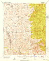
Editions of this 1952 Woody Map
2 editions found
Other maps of this area

1906 · Bakersfield
USGS Topo · 1:62,500

1910 · Buena Vista Lake
USGS Topo · 1:125,000

1912 · Buena Vista Lake
USGS Topo · 1:125,000

1914 · Caliente
USGS Topo · 1:125,000

1920 · Delonagha
USGS Topo · 1:62,500

1926 · Quincy School
USGS Topo · 1:31,680

1926 · Glennville
USGS Topo · 1:62,500

1929 · Richgrove
USGS Topo · 1:31,680

1929 · Quincy School
USGS Topo · 1:31,680

1930 · Oildale
USGS Topo · 1:31,680