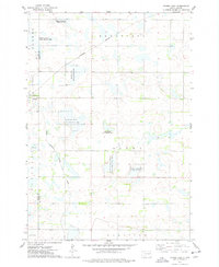
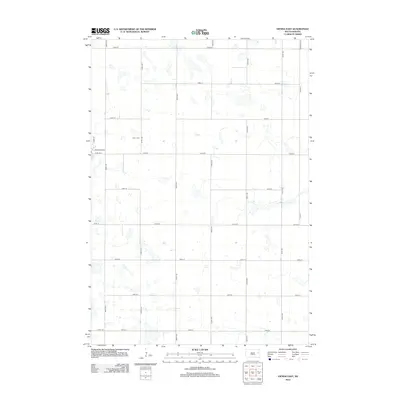
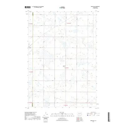
2021 Map of Dempster
USGS Topo · Published 2021About this map
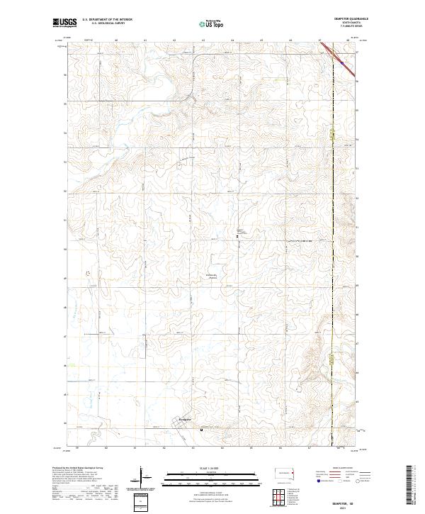
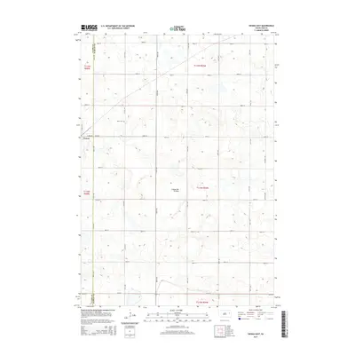
Dempster anchors the southern portion of this landscape where the Big Sioux River and Hidewood Cr drain the high glacial plateau known as the Coteau des Prairies. This region is characterized by a high concentration of water-carved coulees and small wetlands, which define the local topography. For those tracing the area's social history, the presence of the Claremont Colony and the Hamlin Reformed Church Cem suggests the persistent cultural and communal ties that shaped this part of Hamlin County. The map reveals a strictly gridded section-line road system, featuring routes like 463rd Ave and Co Rd B, which connects the small settlement of Dempster to its outlying farms and the nearby Dempster Cem.
Find a feature on this map
35 named features on this map. Tap any name to fly to it.
Don’t see what you’re looking for? This feature index may not catch every label — zoom into the map to look around manually.
Map Details
Editions of this 2021 Dempster Map
This is the sole edition of this map. No revisions or reprints were ever made.
Historical Maps of Dempster Through Time
20 maps found
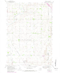
1969 Dempster
Hamlin County, SD
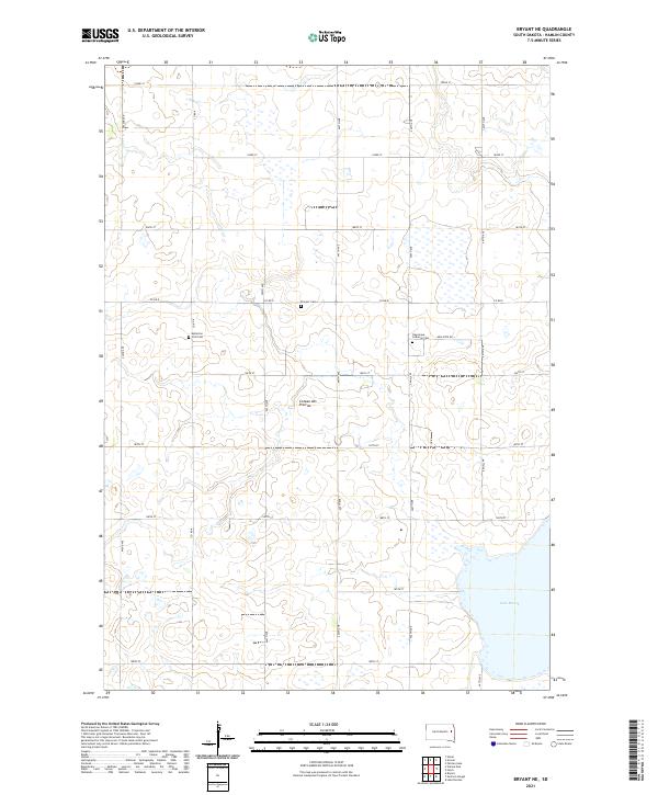
1973 Bryant NE
Hamlin County, SD
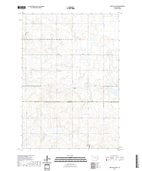
1973 Gertson Slough
Hamlin County, SD
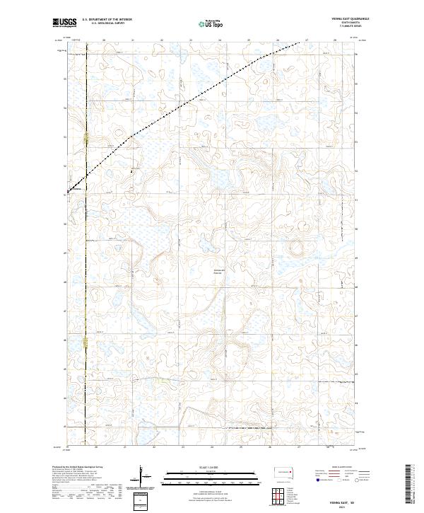
1973 Vienna East
Hamlin County, SD
2012 Bryant NE
Hamlin County, SD
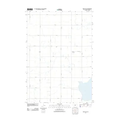
2012 Dempster
Hamlin County, SD
2012 Gertson Slough
Hamlin County, SD
2012 Vienna East
Hamlin County, SD
2015 Bryant NE
Hamlin County, SD
2015 Dempster
Hamlin County, SD
2015 Gertson Slough
Hamlin County, SD
2015 Vienna East
Hamlin County, SD
2017 Bryant NE
Hamlin County, SD
2017 Dempster
Hamlin County, SD
2017 Gertson Slough
Hamlin County, SD
2017 Vienna East
Hamlin County, SD
2021 Bryant NE
Hamlin County, SD
2021 Dempster
Hamlin County, SD
2021 Gertson Slough
Hamlin County, SD
2021 Vienna East
Hamlin County, SD
Featured Locations
- Grange Township, SD
- Havana Township, SD
- Claremont Hutterite Colony, Dempster Township
- Dempster, Dempster Township
- Poinsett Hutterite Colony, Dempster Township