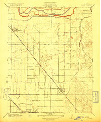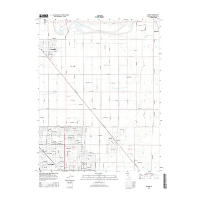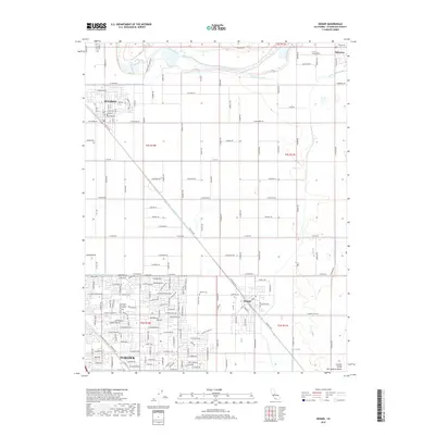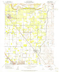
1953 Map of Denair
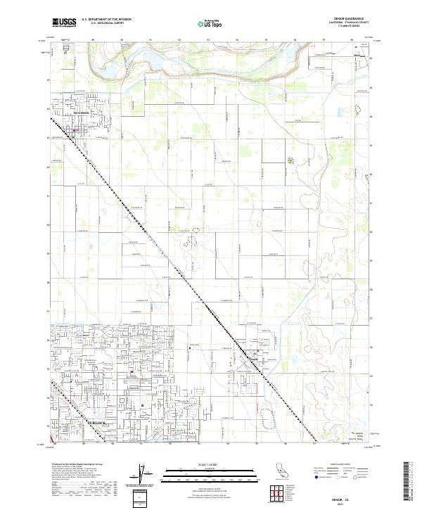
USGS Topo · Published 1955About this map
The Tuolumne River defines the northern edge of this Central Valley landscape, where an intricate irrigation network of the Main Canal and various laterals sustains the agricultural grid. This mid-century survey illustrates the rural development of Stanislaus County, centered on the crossing of the Atchison Topeka and Santa Fe and the industrial hubs of Hughson, Denair, and the northern portion of Turlock. The area is characterized by a dense distribution of local institutions and infrastructure, including the Lebright, Lowell, and Gratton schools, alongside the Union High School. Evidence of the local communications and utility footprint appears through the KTUR Radio Tower and the Gear Substation. Smaller agrarian details like the Denair Cemetery and numerous gravel pits along the river bluffs provide specific landmarks for genealogical and historical research in this fertile valley corridor.
Find a feature on this map
61 named features on this map. Tap any name to fly to it.
Don’t see what you’re looking for? This feature index may not catch every label — zoom into the map to look around manually.
Map Details
Editions of this 1953 Denair Map
This is the sole edition of this map. No revisions or reprints were ever made.
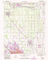
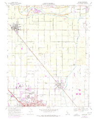
Historical Maps of Turlock Through Time
8 maps found