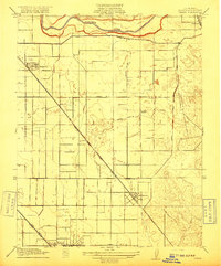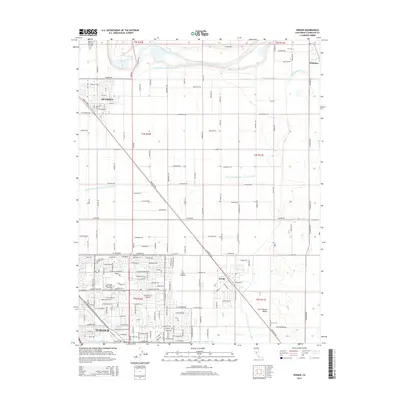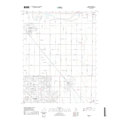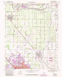
1963 Map of Denair
USGS Topo · Published 1987About this map
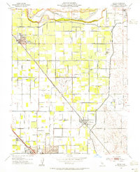
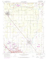
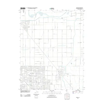
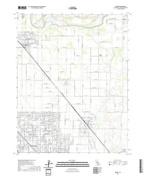
The Tuolumne River defines the northern reaches of this agricultural landscape, where the communities of Hickman, Hughson, and Denair serve as local centers amidst a geometric grid of orchards and fields. Extensive irrigation infrastructure, including the Ceres Main Canal and the Turlock Canal, supports the region's productivity. In the south, the expansion of Turlock is evident, highlighted by the campus of Stanislaus State College and medical facilities like Emanuel Hospital. Transportation patterns are dominated by the diagonal path of the Atchison Topeka and Santa Fe railroad, which cuts across the traditional section lines. Local social anchors such as the Grange Hall and the Denair Cem provide touchpoints for genealogical research, while several rural schools like Gratton Sch and Lebright Sch reflect the distributed nature of early settlement in Stanislaus County.
Find a feature on this map
38 named features on this map. Tap any name to fly to it.
Don’t see what you’re looking for? This feature index may not catch every label — zoom into the map to look around manually.
Map Details
Editions of this 1963 Denair Map
This is the sole edition of this map. No revisions or reprints were ever made.
Historical Maps of Turlock Through Time
8 maps found