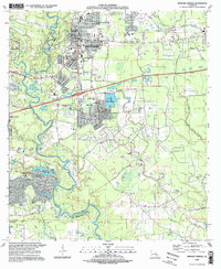
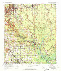
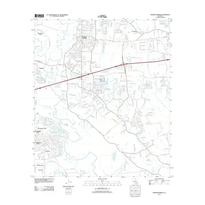
1995 Map of Denham Springs
USGS Topo · Published 1998About this map
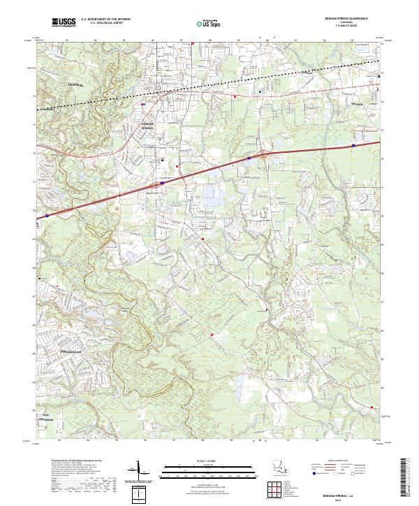
The Amite River meanders along the border of East Baton Rouge Parish and Livingston Parish, defining a landscape of wetlands and residential expansion. During the mid-1990s, the area around Denham Springs shows significant civic development, anchored by numerous educational and religious institutions such as 7th Ward Sch, Immaculate Conception Ch, and the Bishop Joseph V Sullivan High Sch.
Find a feature on this map
50 named features on this map. Tap any name to fly to it.
Don’t see what you’re looking for? This feature index may not catch every label — zoom into the map to look around manually.
Map Details
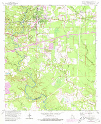
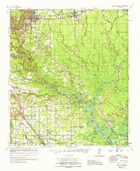
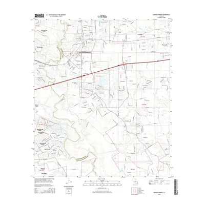
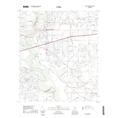
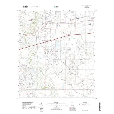
Editions of this 1995 Denham Springs Map
This is the sole edition of this map. No revisions or reprints were ever made.
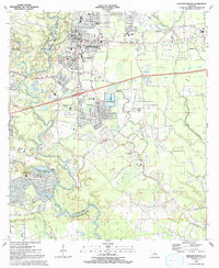
Historical Maps of Baton Rouge Through Time
13 maps found
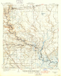
1934 Denham Springs
Livingston Parish, LA
1939 Denham Springs
Livingston Parish, LA
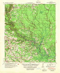
1953 Denham Springs
Livingston Parish, LA
1963 Denham Springs
Livingston Parish, LA
1963 Denham Springs
Livingston Parish, LA
1965 Denham Springs
Livingston Parish, LA
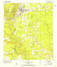
1991 Denham Springs
Livingston Parish, LA
1995 Denham Springs
Livingston Parish, LA
2012 Denham Springs
Livingston Parish, LA
2015 Denham Springs
Livingston Parish, LA
2018 Denham Springs
Livingston Parish, LA
2020 Denham Springs
Livingston Parish, LA
2024 Denham Springs
Livingston Parish, LA