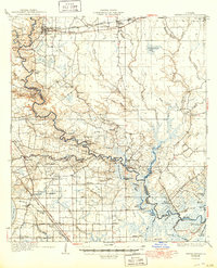
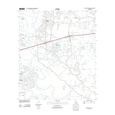
1934 Map of Denham Springs
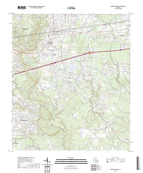
USGS Topo · Published 1949About this map
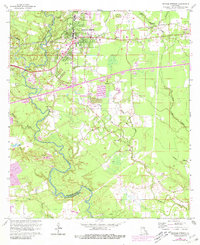
The Amite River winds through the heart of this 1930s landscape, serving as a natural boundary between Livingston Parish, East Baton Rouge Parish, and Ascension Parish. The Illinois Central railroad anchors the northern settlements of Denham Springs, Walker, and Corbin, while the southern reaches are defined by a complex network of bayous and wetlands, including Bayou Manchac and Henderson Bayou. Local social and educational foundations are visible through numerous landmarks like Eden Ch, the 7th Ward Sch, and the Rosenwald Sch. Along the riverbanks, community life is marked by the 4H Club Camp and the Hoo Shoo Too Club, illustrating a period when river access was central to both recreation and daily transit. The emerging dominance of automotive travel is evident in the presence of the Airline Highway cutting across the southwestern corner.
Find a feature on this map
96 named features on this map. Tap any name to fly to it.
Don’t see what you’re looking for? This feature index may not catch every label — zoom into the map to look around manually.
Map Details
Editions of this 1934 Denham Springs Map
2 editions found

Historical Maps of Baton Rouge Through Time
13 maps found
1934 Denham Springs
Livingston Parish, LA
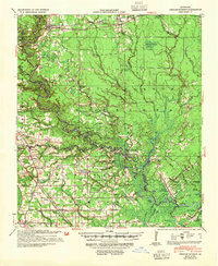
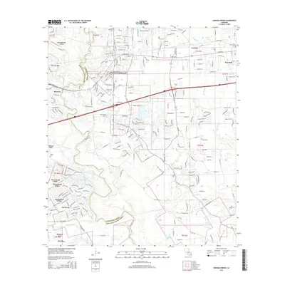
1939 Denham Springs
Livingston Parish, LA
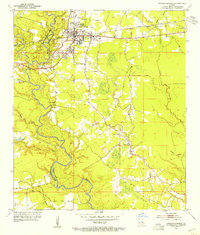
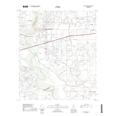
1953 Denham Springs
Livingston Parish, LA
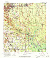
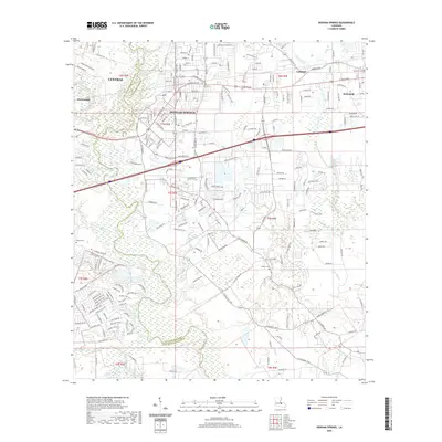
1963 Denham Springs
Livingston Parish, LA
1963 Denham Springs
Livingston Parish, LA
1965 Denham Springs
Livingston Parish, LA
1991 Denham Springs
Livingston Parish, LA
1995 Denham Springs
Livingston Parish, LA
2012 Denham Springs
Livingston Parish, LA
2015 Denham Springs
Livingston Parish, LA
2018 Denham Springs
Livingston Parish, LA
2020 Denham Springs
Livingston Parish, LA
2024 Denham Springs
Livingston Parish, LA