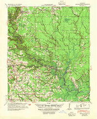
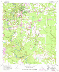
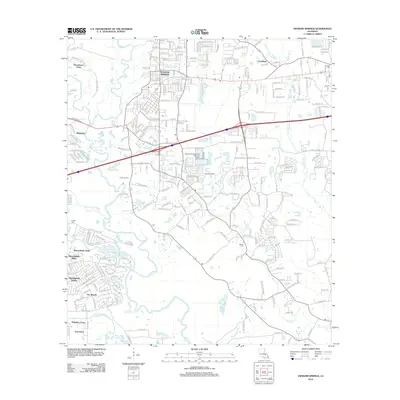
1939 Map of Denham Springs
USGS Topo · Published 1954About this map
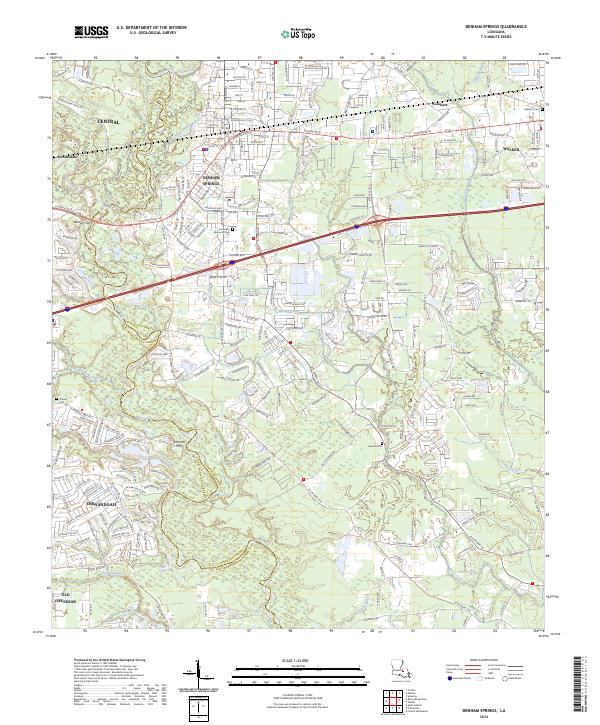
Amite River meanders through the heart of this 1930s landscape, serving as a natural boundary between Livingston Parish, East Baton Rouge Parish, and Ascension Parish. The map reveals a transition from the established settlement at Denham Springs in the north to the water-dependent communities of the lower river basin. Significant for genealogists, the map identifies numerous rural landmarks such as the Lady of the Lake Ch & Cem and Hebron Ch & Cem, alongside localized infrastructure like the French Settlement Ferry.
Find a feature on this map
101 named features on this map. Tap any name to fly to it.
Don’t see what you’re looking for? This feature index may not catch every label — zoom into the map to look around manually.
Map Details
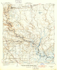
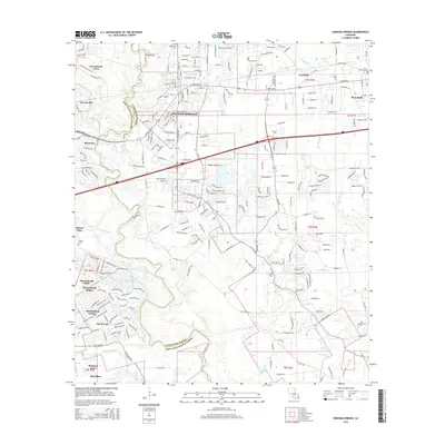
Editions of this 1939 Denham Springs Map
2 editions found

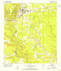
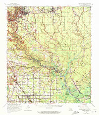
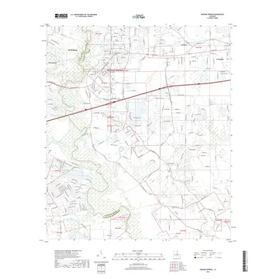
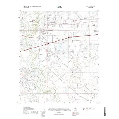
Historical Maps of Baton Rouge Through Time
13 maps found
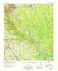
1934 Denham Springs
Livingston Parish, LA
1939 Denham Springs
Livingston Parish, LA
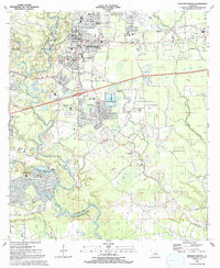
1953 Denham Springs
Livingston Parish, LA
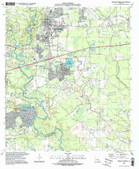
1963 Denham Springs
Livingston Parish, LA
1963 Denham Springs
Livingston Parish, LA
1965 Denham Springs
Livingston Parish, LA
1991 Denham Springs
Livingston Parish, LA
1995 Denham Springs
Livingston Parish, LA
2012 Denham Springs
Livingston Parish, LA
2015 Denham Springs
Livingston Parish, LA
2018 Denham Springs
Livingston Parish, LA
2020 Denham Springs
Livingston Parish, LA
2024 Denham Springs
Livingston Parish, LA