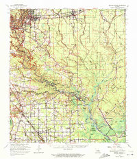
1963 Map of Denham Springs
USGS Topo · Published 1972About this map
The Amite River and Bayou Manchac define the watery geography of this mid-century landscape where Livingston, East Baton Rouge, and Ascension parishes converge. The 1960s era documented here shows a transition between the established railroad towns of Denham Springs and Walker along the Illinois Central Railroad and the more remote bayou settlements to the south.
Find a feature on this map
89 named features on this map. Tap any name to fly to it.
Don’t see what you’re looking for? This feature index may not catch every label — zoom into the map to look around manually.
Map Details
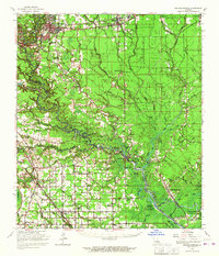
Editions of this 1963 Denham Springs Map
2 editions found
Other maps of this area

1892 · Mount Airy
USGS Topo · 1:62,500

1892 · Donaldsonville
USGS Topo · 1:62,500

1906 · Bayou Sara
USGS Topo · 1:125,000

1908 · Baton Rouge
USGS Topo · 1:62,500

1934 · Denham Springs
USGS Topo · 1:62,500

1934 · Springfield
USGS Topo · 1:62,500

1935 · Gonzales
USGS Topo · 1:31,680

1936 · White Castle
USGS Topo · 1:62,500

1939 · Springfield
USGS Topo · 1:62,500

1939 · Zachary
USGS Topo · 1:62,500