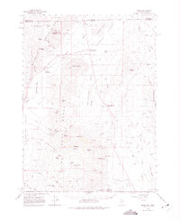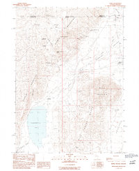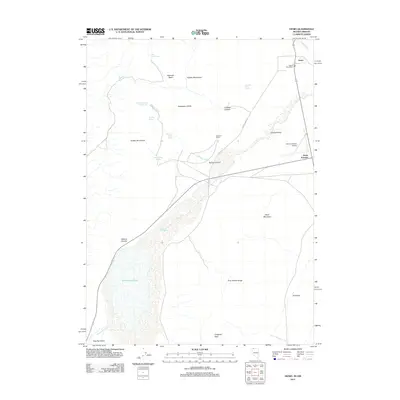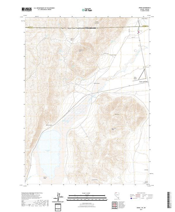
2021 Map of Denio
USGS Topo · Published 2021About this map
Pueblo Mountains and the northern reaches of the Pine Forest Range dominate this high-desert landscape where Nevada meets Oregon. The settlement of Denio Junction serves as a small human outpost in a vast basin defined by geothermal and hydrologic activity, including Baltazor Hot Spring and the seasonally fluctuating Continental Lake. Water is the primary driver of geography here, with numerous springs like Mustang Spring and Cowden Mine Spring scattered across the Alberson Basin. The drainage of Pueblo Slough cuts through the Pueblo Valley, while Emigrant Pass provides a transition between the valley floors and the steep surrounding buttes. This survey highlights the infrastructure of this remote borderland, from the Denio Junction Airport to local routes like Cowden Mine Rd and Fields-Denio Rd.
Find a feature on this map
43 named features on this map. Tap any name to fly to it.
Don’t see what you’re looking for? This feature index may not catch every label — zoom into the map to look around manually.
Map Details
Editions of this 2021 Denio Map
This is the sole edition of this map. No revisions or reprints were ever made.
Historical Maps of Harney County Through Time
7 maps found