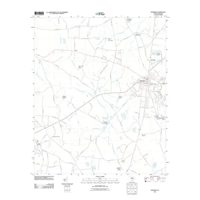
2011 Map of Denmark
USGS Topo · Published 2011About this map
The Little Salkehatchie River and its numerous tributaries, such as Ghents Branch and Long Gall Branch, define the low-lying terrain of this Bamberg County landscape. The town of Denmark serves as the regional hub, where the Denmark Post Office and the City of Denmark Wastewater Treatment Facility are established landmarks. The map records a complex system of water management, evidenced by numerous named dams including Hightower Mill Pond Dam D-2806 and Clarks Lake Dam D-2816. These features, along with large wetland areas like Sykes Swamp, illustrate the region's historical reliance on managed water resources for agriculture and industry. Smaller settlements like Hilda, Lees, and Sato dot the periphery, while sites such as Capernaum Cemetery and Honeyford Cemetery provide specific points of interest for genealogists tracing local family histories.
Find a feature on this map
107 named features on this map. Tap any name to fly to it.
Don’t see what you’re looking for? This feature index may not catch every label — zoom into the map to look around manually.
Map Details
Editions of this 2011 Denmark Map
This is the sole edition of this map. No revisions or reprints were ever made.
Other maps of this area

1919 · Olar
USGS Topo · 1:62,500

1919 · Bamberg
USGS Topo · 1:48,000

1919 · Allendale
USGS Topo · 1:62,500

1920 · Bamberg
USGS Topo · 1:62,500

1923 · Williston
USGS Topo · 1:48,000

1927 · Williston
USGS Topo · 1:62,500

1943 · Olar
USGS Topo · 1:62,500

1943 · Allendale
USGS Topo · 1:62,500

1943 · Bamberg
USGS Topo · 1:62,500

1943 · Williston
USGS Topo · 1:62,500