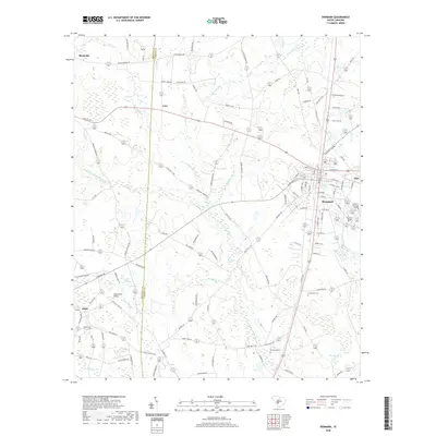
2020 Map of Denmark
USGS Topo · Published 2020About this map
Denmark serves as the primary municipal hub of this Bamberg County landscape, where the educational campuses of Voorhees College and Denmark Technical College anchor the town's eastern side. The area is defined by its agricultural heritage and complex drainage networks, with the Little Salkehatchie River and Ghents Br meandering through a mosaic of timberland and fields. Smaller settlements like Blackville, Lees, and Hilda are connected by a network of rural routes such as Holman Bridge Rd and Sassafras Rd, reflecting a long-standing pattern of Lowcountry land use.
Find a feature on this map
123 named features on this map. Tap any name to fly to it.
Don’t see what you’re looking for? This feature index may not catch every label — zoom into the map to look around manually.
Map Details
Editions of this 2020 Denmark Map
This is the sole edition of this map. No revisions or reprints were ever made.
Other maps of this area

1919 · Olar
USGS Topo · 1:62,500

1919 · Bamberg
USGS Topo · 1:48,000

1919 · Allendale
USGS Topo · 1:62,500

1920 · Bamberg
USGS Topo · 1:62,500

1923 · Williston
USGS Topo · 1:48,000

1927 · Williston
USGS Topo · 1:62,500

1943 · Olar
USGS Topo · 1:62,500

1943 · Allendale
USGS Topo · 1:62,500

1943 · Bamberg
USGS Topo · 1:62,500

1943 · Williston
USGS Topo · 1:62,500