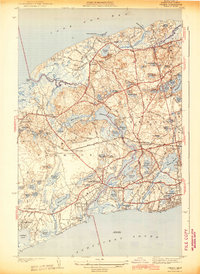
1943 Map of Dennis
USGS Topo · Published 1943About this map
The mid-Cape Cod landscape of the early 1940s is defined here by its dense network of kettle ponds and the winding course of the Bass River between Dennis and Yarmouth. Unlike the heavily developed modern shoreline, the map reveals a collection of distinct villages such as Dennis Port, East Dennis, and West Yarmouth linked by historic thoroughfares like Whites Path and Trotting Park Road.
Find a feature on this map
91 named features on this map. Tap any name to fly to it.
Don’t see what you’re looking for? This feature index may not catch every label — zoom into the map to look around manually.
Map Details
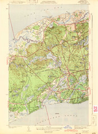
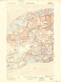
Editions of this 1943 Dennis Map
3 editions found
Other maps of this area

1887 · Wellfleet
USGS Topo · 1:62,500

1887 · Yarmouth
USGS Topo · 1:62,500

1888 · Barnstable
USGS Topo · 1:62,500

1889 · Yarmouth
USGS Topo · 1:62,500

1889 · Wellfleet
USGS Topo · 1:62,500

1893 · Yarmouth
USGS Topo · 1:62,500

1893 · Wellfleet
USGS Topo · 1:62,500

1893 · Barnstable
USGS Topo · 1:62,500

1942 · Cape Cod Bay
USGS Topo · 1:125,000
1942 · Hyannis
USGS Topo · 1:31,680