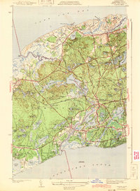
1943 Map of Dennis
USGS Topo · Published 1943About this map
The mid-Cape landscape is defined here by the intricate boundary between Yarmouth and Dennis, just years before the post-war development boom reshaped these coastal towns. A dense network of glacial kettle ponds, including Scargo Lake and Flax Pond, dots the interior terrain between the shoreline of Cape Cod Bay and the southern reaches of Nantucket Sound. The transportation patterns of the early 1940s are preserved, from the primary route of Highway 6 to the tracks of the New York New Haven and Hartford railroad, featuring the Bass River Sta. This survey captures the traditional village centers like South Dennis and Yarmouth Port as discrete settlements surrounded by woodlands and marshes. Genealogists will find particular value in the clearly marked burial grounds such as Howes Cem and the W Yarmouth Cem, which anchor the local history of these long-established maritime communities.
Find a feature on this map
82 named features on this map. Tap any name to fly to it.
Don’t see what you’re looking for? This feature index may not catch every label — zoom into the map to look around manually.
Map Details
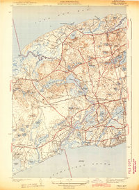
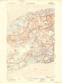
Editions of this 1943 Dennis Map
3 editions found
Other maps of this area

1887 · Wellfleet
USGS Topo · 1:62,500

1887 · Yarmouth
USGS Topo · 1:62,500

1888 · Barnstable
USGS Topo · 1:62,500

1889 · Yarmouth
USGS Topo · 1:62,500

1889 · Wellfleet
USGS Topo · 1:62,500

1893 · Yarmouth
USGS Topo · 1:62,500

1893 · Wellfleet
USGS Topo · 1:62,500

1893 · Barnstable
USGS Topo · 1:62,500

1942 · Cape Cod Bay
USGS Topo · 1:125,000
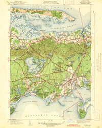
1942 · Hyannis
USGS Topo · 1:31,680