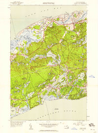
1949 Map of Dennis
USGS Topo · Published 1958About this map
The narrow waist of Cape Cod is defined by the Bass River and its intricate connection of tidal bays and freshwater ponds in this mid-century survey. Commercial and social life centers on established villages like Dennis and South Yarmouth, while the Bass River Golf Club and the Bass River Sta along the railroad line indicate the region's development as a seasonal and transit hub. The landscape is dotted with family-named landmarks and water bodies, from Scargo Lake near Cape Cod Bay to the expansive Swan Pond near the southern shore.
Find a feature on this map
89 named features on this map. Tap any name to fly to it.
Don’t see what you’re looking for? This feature index may not catch every label — zoom into the map to look around manually.
Map Details
Editions of this 1949 Dennis Map
2 editions found
Other maps of this area

1887 · Wellfleet
USGS Topo · 1:62,500

1887 · Yarmouth
USGS Topo · 1:62,500

1888 · Barnstable
USGS Topo · 1:62,500

1889 · Yarmouth
USGS Topo · 1:62,500

1889 · Wellfleet
USGS Topo · 1:62,500

1893 · Yarmouth
USGS Topo · 1:62,500

1893 · Wellfleet
USGS Topo · 1:62,500

1893 · Barnstable
USGS Topo · 1:62,500

1942 · Cape Cod Bay
USGS Topo · 1:125,000
1942 · Hyannis
USGS Topo · 1:31,680