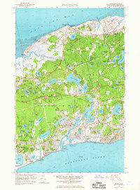
1961 Map of Dennis
USGS Topo · Published 1967About this map
The mid-Cape Cod landscape of the early 1960s is defined by its intricate network of coastal inlets and freshwater kettle ponds, anchored by the prominent corridor of the New York New Haven and Hartford railroad. This survey captures a moment of suburban development between the villages of Dennis and Yarmouth, where newer neighborhoods begin to surround historic centers like Yarmouth Port and South Dennis. The geography is characterized by the tidal flow of the Bass River and its numerous branches, including Sesuit Creek to the north and Quivett Creek to the east. Local landmarks such as Black Ball Hill and Hokum Rock rise above a terrain marked by extensive sand and gravel operations. Genealogical interest is high given the preservation of numerous burial grounds, including the Ancient Cem near Yarmouth and the Homer Cem in East Dennis, alongside established community institutions like the Yarmouth-Dennis Regional High Sch.
Find a feature on this map
131 named features on this map. Tap any name to fly to it.
Don’t see what you’re looking for? This feature index may not catch every label — zoom into the map to look around manually.
Map Details
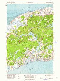
Editions of this 1961 Dennis Map
2 editions found
Other maps of this area

1887 · Wellfleet
USGS Topo · 1:62,500

1887 · Yarmouth
USGS Topo · 1:62,500

1888 · Barnstable
USGS Topo · 1:62,500

1889 · Yarmouth
USGS Topo · 1:62,500

1889 · Wellfleet
USGS Topo · 1:62,500

1893 · Yarmouth
USGS Topo · 1:62,500

1893 · Wellfleet
USGS Topo · 1:62,500

1893 · Barnstable
USGS Topo · 1:62,500

1942 · Cape Cod Bay
USGS Topo · 1:125,000
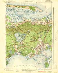
1942 · Hyannis
USGS Topo · 1:31,680