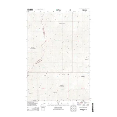
2013 Map of Dennis Mountain
USGS Topo · Published 2013About this map
Bitterroot National Forest and Nez Perce National Forest converge in this high-elevation Idaho County terrain. The landscape is defined by a dense network of drainages and prominent ridges, where water bodies like Saddle Cr and Sabe Cr carve deep into the wilderness. The survey reveals a complex system of natural corridors, including Buck Creek Saddle and Harrington Saddle, which likely served as crucial passage points for early forestry and travel through these protected lands. Features such as Dennis Mtn and Harrington Mtn stand as primary landmarks, while the presence of Cabin Spring and Dennis Lakes indicates the isolated water sources essential for remote operations and wildlife. The absence of developed towns emphasizes the area's preservation as a primitive forest landscape in the early twenty-first century.
Find a feature on this map
35 named features on this map. Tap any name to fly to it.
Don’t see what you’re looking for? This feature index may not catch every label — zoom into the map to look around manually.
Map Details
Editions of this 2013 Dennis Mountain Map
This is the sole edition of this map. No revisions or reprints were ever made.
Other maps of this area

1956 · Elk City
USGS Topo · 1:250,000

1960 · Elk City
USGS Topo · 1:250,000

1978 · Waugh Mountain
USGS Topo · 1:24,000

1978 · Arctic Point
USGS Topo · 1:24,000

1978 · Spread Creek Point
USGS Topo · 1:24,000

1978 · Dennis Mtn
USGS Topo · 1:24,000

1978 · Magruder Mtn
USGS Topo · 1:24,000

1978 · Sheep Hill
USGS Topo · 1:24,000

1978 · Devils Teeth Rapids
USGS Topo · 1:24,000
1979 · Sabe Mtn
USGS Topo · 1:24,000