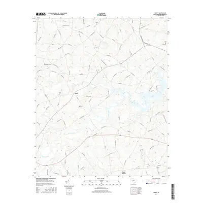
2017 Map of Denny
USGS Topo · Published 2017About this map
The Little Saluda River flows through this corner of Saluda County, defining a landscape of traditional agricultural settlements and expanding water features. The namesake community of Denny sits centrally among a network of rural routes such as Bethany Schoolhouse Rd, while the eastern portion of the map is dominated by the finger-like inlets of Lake Murray. This area preserves several family and community burial grounds, including Mitchell Hill Cem and Butler Cem, which offer significant value for genealogical research in this part of South Carolina.
Find a feature on this map
97 named features on this map. Tap any name to fly to it.
Don’t see what you’re looking for? This feature index may not catch every label — zoom into the map to look around manually.
Map Details
Editions of this 2017 Denny Map
This is the sole edition of this map. No revisions or reprints were ever made.
Other maps of this area

1941 · Spartanburg
USGS Topo · 1:250,000

1953 · Spartanburg
USGS Topo · 1:250,000

1954 · Augusta
USGS Topo · 1:250,000

1957 · Augusta
USGS Topo · 1:250,000

1958 · Augusta
USGS Topo · 1:250,000

1960 · Spartanburg
USGS Topo · 1:250,000

1961 · Augusta
USGS Topo · 1:250,000

1962 · Augusta
USGS Topo · 1:250,000

1963 · Spartanburg
USGS Topo · 1:250,000

1964 · Spartanburg
USGS Topo · 1:250,000