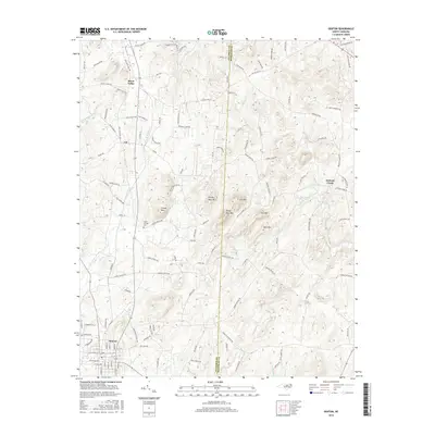
2016 Map of Denton
USGS Topo · Published 2016About this map
Denton anchors the southern portion of this landscape where the Piedmont terrain begins to rise into several prominent peaks. The area is defined by its small, traditional settlements such as Silver Valley and Cid, which are connected by a network of rural roads like Old State Hwy 109 and Old US Hwy 64. These routes trace the contours between local heights including Crouse Mtn, Prickly Pear Mtn, and Steep Rock Mtn.
Find a feature on this map
124 named features on this map. Tap any name to fly to it.
Don’t see what you’re looking for? This feature index may not catch every label — zoom into the map to look around manually.
Map Details
Editions of this 2016 Denton Map
This is the sole edition of this map. No revisions or reprints were ever made.
Other maps of this area

1949 · High Rock
USGS Topo · 1:24,000

1949 · Denton NW
USGS Topo · 1:24,000

1950 · Lexington East
USGS Topo · 1:24,000

1951 · Lexington East
USGS Topo · 1:24,000

1951 · Fair Grove
USGS Topo · 1:24,000

1953 · Raleigh
USGS Topo · 1:250,000

1953 · Charlotte
USGS Topo · 1:250,000

1954 · Charlotte
USGS Topo · 1:250,000

1954 · Raleigh
USGS Topo · 1:250,000

1957 · Denton
USGS Topo · 1:62,500