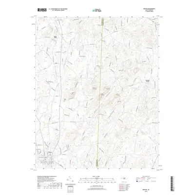
2019 Map of Denton
USGS Topo · Published 2019About this map
The town of Denton serves as the primary hub in this portion of the Piedmont, where the local economy is defined by a blend of small-town agriculture and the prominent topography of the Uwharrie Mountains. Moving north from the town center, the landscape is punctuated by a series of significant peaks, including Crouse Mtn, Prickly Pear Mtn, and Steep Rock Mtn. These elevations dictate the path of the numerous waterways that drain the region, such as Lick Cr and Jackson Cr.
Find a feature on this map
127 named features on this map. Tap any name to fly to it.
Don’t see what you’re looking for? This feature index may not catch every label — zoom into the map to look around manually.
Map Details
Editions of this 2019 Denton Map
This is the sole edition of this map. No revisions or reprints were ever made.
Other maps of this area

1949 · High Rock
USGS Topo · 1:24,000

1949 · Denton NW
USGS Topo · 1:24,000

1950 · Lexington East
USGS Topo · 1:24,000

1951 · Lexington East
USGS Topo · 1:24,000

1951 · Fair Grove
USGS Topo · 1:24,000

1953 · Raleigh
USGS Topo · 1:250,000

1953 · Charlotte
USGS Topo · 1:250,000

1954 · Charlotte
USGS Topo · 1:250,000

1954 · Raleigh
USGS Topo · 1:250,000

1957 · Denton
USGS Topo · 1:62,500