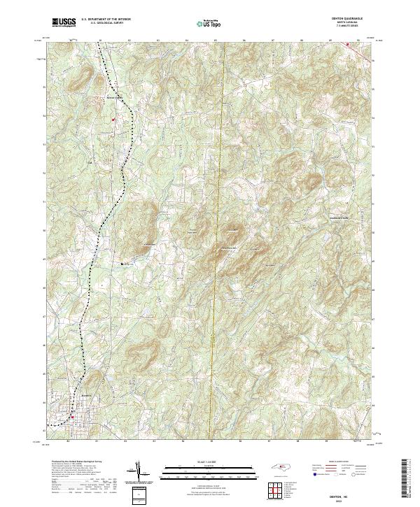
2022 Map of Denton
USGS Topo · Published 2022About this map
Denton serves as the primary hub in this portion of the Piedmont, situated near the southwestern border of the Davidson and Randolph county line. The landscape is defined by a series of prominent knobs and ridges, including Crouse Mtn, Prickly Pear Mtn, and Steep Rock Mtn, which separate the various creek drainage basins. Smaller unincorporated communities like Silver Valley, Cid, and Jackson Creek are linked by a network of rural routes such as Old State Hwy 109 and Old US Hwy 64. This 2022 survey captures the persistent rural character of the region, where family-named roads and landmarks like Cedar Springs Cem reflect generations of local settlement along the tributaries of Flat Swamp Cr and Lick Cr.
Find a feature on this map
124 named features on this map. Tap any name to fly to it.
Don’t see what you’re looking for? This feature index may not catch every label — zoom into the map to look around manually.
Map Details
Editions of this 2022 Denton Map
This is the sole edition of this map. No revisions or reprints were ever made.
Other maps of this area

1949 · High Rock
USGS Topo · 1:24,000

1949 · Denton NW
USGS Topo · 1:24,000

1950 · Lexington East
USGS Topo · 1:24,000

1951 · Lexington East
USGS Topo · 1:24,000

1951 · Fair Grove
USGS Topo · 1:24,000

1953 · Raleigh
USGS Topo · 1:250,000

1953 · Charlotte
USGS Topo · 1:250,000

1954 · Charlotte
USGS Topo · 1:250,000

1954 · Raleigh
USGS Topo · 1:250,000

1957 · Denton
USGS Topo · 1:62,500