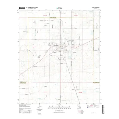
2015 Map of DeQuincy
USGS Topo · Published 2015About this map
DeQuincy serves as the central hub of this 2015 survey, surrounded by established residential neighborhoods including Western Pines, Eastern Heights, and Pine Acres. The landscape is defined by the transition from urban infrastructure to the rural timberlands of Calcasieu Parish. To the west, the De Quincy Industrial Airpark and the settlement of Helme indicate the area's ongoing economic development, while numerous family-named roads like Mister Roberts Rd and Henry Robertson Rd suggest a history of local landownership.
Find a feature on this map
126 named features on this map. Tap any name to fly to it.
Don’t see what you’re looking for? This feature index may not catch every label — zoom into the map to look around manually.
Map Details
Editions of this 2015 DeQuincy Map
This is the sole edition of this map. No revisions or reprints were ever made.
Other maps of this area

1935 · Buhler
USGS Topo · 1:31,680

1935 · Gordon
USGS Topo · 1:31,680

1947 · DeQuincy
USGS Topo · 1:31,680

1947 · Sulphur Mines
USGS Topo · 1:31,680

1947 · Oretta
USGS Topo · 1:31,680

1947 · Kernan
USGS Topo · 1:31,680

1947 · Hyatt
USGS Topo · 1:31,680

1947 · Lunita
USGS Topo · 1:31,680

1947 · Long Marsh
USGS Topo · 1:31,680

1949 · Kernan
USGS Topo · 1:31,680