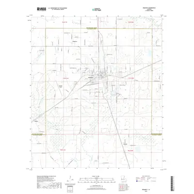
2018 Map of DeQuincy
USGS Topo · Published 2018About this map
DeQuincy stands at the center of this 2018 survey, marking a vital junction in Calcasieu Parish where the parish line meets Beauregard Parish. The map traces the modern development and infrastructure of this rail-heavy corridor, including the De Quincy Industrial Airpark and a network of arterial roads like Arthur Irwin Rd and Kelly St. Beyond the urban core, the landscape transitions into the wetlands and drainages typical of the Louisiana coastal plain, defined by Beefpen Gully, Cowards Gully, and Dick Gully. Genealogists and local historians will find significant value in the documentation of older community centers and burial sites, such as the Rigmaiden Cem and Perkins Cem near the Perkins settlement. Smaller locales like Hargrove and Helme are also detailed, anchored by family-named routes such as Mister Roberts Rd and Dwaine Pruitt Rd.
Find a feature on this map
75 named features on this map. Tap any name to fly to it.
Don’t see what you’re looking for? This feature index may not catch every label — zoom into the map to look around manually.
Map Details
Editions of this 2018 DeQuincy Map
This is the sole edition of this map. No revisions or reprints were ever made.
Other maps of this area

1935 · Buhler
USGS Topo · 1:31,680

1935 · Gordon
USGS Topo · 1:31,680

1947 · DeQuincy
USGS Topo · 1:31,680

1947 · Sulphur Mines
USGS Topo · 1:31,680

1947 · Oretta
USGS Topo · 1:31,680

1947 · Kernan
USGS Topo · 1:31,680

1947 · Hyatt
USGS Topo · 1:31,680

1947 · Lunita
USGS Topo · 1:31,680

1947 · Long Marsh
USGS Topo · 1:31,680

1949 · Kernan
USGS Topo · 1:31,680