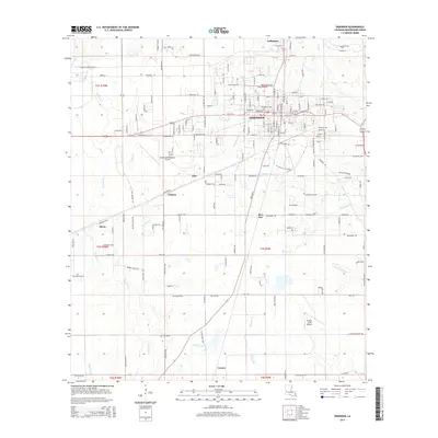
2015 Map of DeRidder
USGS Topo · Published 2015About this map
DeRidder serves as the central hub of this Beauregard Parish landscape, where a dense network of residential streets like Mahlon St and Peiper St meet the primary transport corridors. The map documents a transition from the structured urban layout of the city to the surrounding rural settlements of Bon Ami, Ludington, and Hite. This spatial arrangement highlights the historical reliance on both aviation and land transport, anchored by the Beauregard Regional Airport and the smaller Swamp Smith Airport to the south.
Find a feature on this map
95 named features on this map. Tap any name to fly to it.
Don’t see what you’re looking for? This feature index may not catch every label — zoom into the map to look around manually.
Map Details
Editions of this 2015 DeRidder Map
This is the sole edition of this map. No revisions or reprints were ever made.
Other maps of this area

1947 · Singer
USGS Topo · 1:31,680

1947 · Pujo
USGS Topo · 1:31,680

1947 · DeRidder
USGS Topo · 1:31,680

1947 · Rosepine
USGS Topo · 1:31,680

1947 · Knight
USGS Topo · 1:31,680

1947 · Ikes
USGS Topo · 1:31,680

1947 · Chasmore
USGS Topo · 1:31,680

1947 · Beckwith School
USGS Topo · 1:31,680

1947 · Bannister
USGS Topo · 1:31,680

1952 · Lake Charles
USGS Topo · 1:250,000