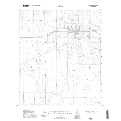
2020 Map of DeRidder
USGS Topo · Published 2020About this map
DeRidder serves as the central hub for this Beauregard Parish landscape, anchored by the Beauregard Parish Courthouse at the heart of its street grid. The area exhibits a pattern of small settlements and airfields, with Ludington to the north and Bon Ami and Carson to the south along the rail corridor. Local aviation history is represented by both the Beauregard Regional Airport and the smaller Swamp Smith Airport near the eastern edge.
Find a feature on this map
87 named features on this map. Tap any name to fly to it.
Don’t see what you’re looking for? This feature index may not catch every label — zoom into the map to look around manually.
Map Details
Editions of this 2020 DeRidder Map
This is the sole edition of this map. No revisions or reprints were ever made.
Other maps of this area

1947 · Singer
USGS Topo · 1:31,680

1947 · Pujo
USGS Topo · 1:31,680

1947 · DeRidder
USGS Topo · 1:31,680

1947 · Rosepine
USGS Topo · 1:31,680

1947 · Knight
USGS Topo · 1:31,680

1947 · Ikes
USGS Topo · 1:31,680

1947 · Chasmore
USGS Topo · 1:31,680

1947 · Beckwith School
USGS Topo · 1:31,680

1947 · Bannister
USGS Topo · 1:31,680

1952 · Lake Charles
USGS Topo · 1:250,000