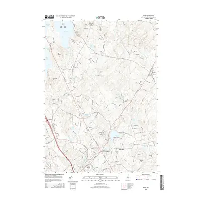
2015 Map of Derry
USGS Topo · Published 2015About this map
Derry Village and the town of Chester serve as central hubs in this Rockingham County landscape, where traditional New England settlement patterns meet modern infrastructure. The area is defined by its numerous glacial water bodies, from the sprawling Massabesic Lake in the northwest to Beaver Lake and the smaller Hoods Pond. Local history and genealogy are anchored by several notable burial grounds, including the centrally located Forest Hill Cem and the Village Cem near Chester.
Find a feature on this map
209 named features on this map. Tap any name to fly to it.
Don’t see what you’re looking for? This feature index may not catch every label — zoom into the map to look around manually.
Map Details
Editions of this 2015 Derry Map
This is the sole edition of this map. No revisions or reprints were ever made.
Other maps of this area

1888 · Haverhill
USGS Topo · 1:62,500

1890 · Haverhill
USGS Topo · 1:62,500

1893 · Haverhill
USGS Topo · 1:62,500

1905 · Manchester
USGS Topo · 1:62,500

1917 · Mt. Pawtuckaway
USGS Topo · 1:62,500

1919 · Mt. Pawtuckaway
USGS Topo · 1:62,500

1921 · Suncook
USGS Topo · 1:62,500

1935 · Haverhill
USGS Topo · 1:62,500

1939 · Mt. Pawtuckaway
USGS Topo · 1:62,500

1941 · Manchester
USGS Topo · 1:62,500