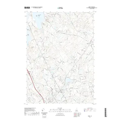
2021 Map of Derry
USGS Topo · Published 2021About this map
Derry and its satellite communities of Derry Village and East Derry occupy the central landscape of this Rockingham County survey. The area is defined by a dense network of local roads and water bodies, including Beaver Lake and Hoods Pond. To the west, the village of Wilson sits near the crossing of the Beaver Brook. The topography is marked by several prominent elevations such as Mine Hill, Bunker Hill, and Silver Hill, which rise above the surrounding wetlands and brooks.
Find a feature on this map
210 named features on this map. Tap any name to fly to it.
Don’t see what you’re looking for? This feature index may not catch every label — zoom into the map to look around manually.
Map Details
Editions of this 2021 Derry Map
This is the sole edition of this map. No revisions or reprints were ever made.
Other maps of this area

1888 · Haverhill
USGS Topo · 1:62,500

1890 · Haverhill
USGS Topo · 1:62,500

1893 · Haverhill
USGS Topo · 1:62,500

1905 · Manchester
USGS Topo · 1:62,500

1917 · Mt. Pawtuckaway
USGS Topo · 1:62,500

1919 · Mt. Pawtuckaway
USGS Topo · 1:62,500

1921 · Suncook
USGS Topo · 1:62,500

1935 · Haverhill
USGS Topo · 1:62,500

1939 · Mt. Pawtuckaway
USGS Topo · 1:62,500

1941 · Manchester
USGS Topo · 1:62,500