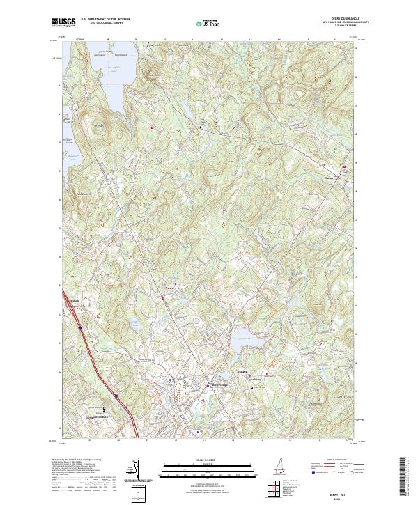
2024 Map of Derry
USGS Topo · Published 2024About this map
Massabesic Lake and its many features, such as Loon Island and Currier Point, anchor the northwest corner of this modern landscape in Rockingham County. The terrain is defined by a series of prominent elevations like Silver Hill, Bell Hill, and Warner Hill, which rise between the drainages of Beaver Brook and the Exeter River. The map highlights the continued importance of historical centers including Derry, Chester, and Derry Village, alongside the suburban development of Londonderry. A transformation of transport is evident where former rail corridors have transitioned into recreational infrastructure, such as the Manchester RR Trl and the Londonderry Bikepath Trl. Genealogists and local historians will find significant value in the mapped locations of the Old-Hill Graveyard, Pillsbury Cem, and Long Meadow Cem, which preserve the geographic legacy of early New Hampshire families.
Find a feature on this map
55 named features on this map. Tap any name to fly to it.
Don’t see what you’re looking for? This feature index may not catch every label — zoom into the map to look around manually.
Map Details
Editions of this 2024 Derry Map
This is the sole edition of this map. No revisions or reprints were ever made.
Other maps of this area

1888 · Haverhill
USGS Topo · 1:62,500

1890 · Haverhill
USGS Topo · 1:62,500

1893 · Haverhill
USGS Topo · 1:62,500

1905 · Manchester
USGS Topo · 1:62,500

1917 · Mt. Pawtuckaway
USGS Topo · 1:62,500

1919 · Mt. Pawtuckaway
USGS Topo · 1:62,500

1921 · Suncook
USGS Topo · 1:62,500

1935 · Haverhill
USGS Topo · 1:62,500

1939 · Mt. Pawtuckaway
USGS Topo · 1:62,500

1941 · Manchester
USGS Topo · 1:62,500