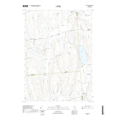
2019 Map of DeRuyter
USGS Topo · Published 2019About this map
DeRuyter Reservoir serves as a central geographic focus in this Central New York landscape where the borders of Onondaga, Madison, and Cortland Counties meet. The village of DeRuyter sits at the southern end of the reservoir, while the northern village of Fabius is positioned near the wetlands of The Old Fly. This area is characterized by a high density of small family and community burial grounds, including the Merchant Smith Cem and Burdick Cem, which speak to the deep-rooted agricultural lineage of the region.
Find a feature on this map
98 named features on this map. Tap any name to fly to it.
Don’t see what you’re looking for? This feature index may not catch every label — zoom into the map to look around manually.
Map Details
Editions of this 2019 DeRuyter Map
This is the sole edition of this map. No revisions or reprints were ever made.
Other maps of this area

1897 · Cazenovia
USGS Topo · 1:62,500

1899 · Cazenovia
USGS Topo · 1:62,500

1900 · Tully
USGS Topo · 1:62,500

1903 · Cortland
USGS Topo · 1:62,500

1904 · Pitcher
USGS Topo · 1:62,500

1942 · Oran
USGS Topo · 1:24,000

1943 · Jamesville
USGS Topo · 1:31,680
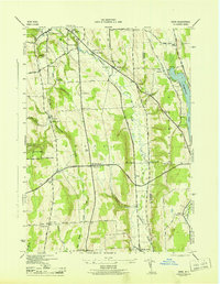
1943 · Oran
USGS Topo · 1:31,680
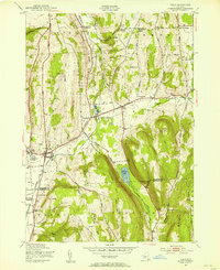
1943 · Tully
USGS Topo · 1:24,000

1943 · De Ruyter
USGS Topo · 1:24,000