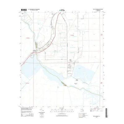
2015 Map of Des Allemands
USGS Topo · Published 2015About this map
Bayou des Allemands snakes through the low-lying wetlands of southern Louisiana, defining the boundary between St. Charles Parish and Lafourche Parish. This landscape is characterized by an intricate network of drainage and transport canals, ranging from Canal Number Three to Canal Number Twenty-two, which supported the reclamation and development of the region. The settlement of Des Allemands sits at a critical crossing point, while smaller residential clusters like Green Acres and Bayou Gauche are tucked between the vast Dufrene Ponds and Simoneaux Ponds.
Find a feature on this map
76 named features on this map. Tap any name to fly to it.
Don’t see what you’re looking for? This feature index may not catch every label — zoom into the map to look around manually.
Map Details
Editions of this 2015 Des Allemands Map
This is the sole edition of this map. No revisions or reprints were ever made.
Other maps of this area

1891 · Hahnville
USGS Topo · 1:62,500

1892 · Lac Des Allemands
USGS Topo · 1:62,500

1892 · Cut-Off
USGS Topo · 1:62,500

1892 · Houma
USGS Topo · 1:62,500

1932 · Lac Des Allemands SE
USGS Topo · 1:31,680

1932 · Houma NE
USGS Topo · 1:31,680

1932 · Hahnville NW
USGS Topo · 1:31,680

1932 · Lac Des Allemands NE
USGS Topo · 1:31,680

1932 · Hahnville SW
USGS Topo · 1:31,680

1932 · Hahnville NE
USGS Topo · 1:31,680