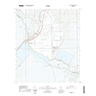
2020 Map of Des Allemands
USGS Topo · Published 2020About this map
Des Allemands sits at the heart of this coastal wetland landscape, where the St. Charles and Lafourche border meets. The map documents an intricate network of waterways and drainage canals, such as Canal Number Twenty-two and Canal Number Fourteen, which crisscross the marshy terrain between Paradis and the Dufrene Ponds. This system reflects the long-standing efforts to manage the hydrology of the low-lying basin.
Find a feature on this map
68 named features on this map. Tap any name to fly to it.
Don’t see what you’re looking for? This feature index may not catch every label — zoom into the map to look around manually.
Map Details
Editions of this 2020 Des Allemands Map
This is the sole edition of this map. No revisions or reprints were ever made.
Other maps of this area

1891 · Hahnville
USGS Topo · 1:62,500

1892 · Lac Des Allemands
USGS Topo · 1:62,500

1892 · Cut-Off
USGS Topo · 1:62,500

1892 · Houma
USGS Topo · 1:62,500

1932 · Lac Des Allemands SE
USGS Topo · 1:31,680

1932 · Houma NE
USGS Topo · 1:31,680

1932 · Hahnville NW
USGS Topo · 1:31,680

1932 · Lac Des Allemands NE
USGS Topo · 1:31,680

1932 · Hahnville SW
USGS Topo · 1:31,680

1932 · Hahnville NE
USGS Topo · 1:31,680