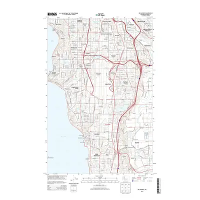
2014 Map of Des Moines
USGS Topo · Published 2014About this map
Seattle and its southern suburban corridor are documented here during a period of dense residential and industrial development. The landscape is defined by the massive infrastructure of the Seattle-Tacoma International Airport and the winding course of the Green River, which flows past settlements like Foster and Allentown. While the shoreline along Puget Sound features established neighborhoods such as Seola Beach and Normandy Park, the interior is a grid of early 21st-century growth, connecting older hubs like Burien and Tukwila. Notable social and community landmarks include the Highline Community College and Tyee Valley Golf Course. The map also preserves the locations of several memorial sites, including Saint Patricks Cemetery and Riverton Crest Cemetery, providing a detailed record of the area's local geography before further urban transformation.
Find a feature on this map
92 named features on this map. Tap any name to fly to it.
Don’t see what you’re looking for? This feature index may not catch every label — zoom into the map to look around manually.
Map Details
Editions of this 2014 Des Moines Map
This is the sole edition of this map. No revisions or reprints were ever made.
Other maps of this area

1894 · Seattle
USGS Topo · 1:62,500

1895 · Snohomish
USGS Topo · 1:125,000

1897 · Tacoma
USGS Topo · 1:125,000

1897 · Seattle
USGS Topo · 1:125,000

1900 · Tacoma
USGS Topo · 1:125,000

1908 · Seattle
USGS Topo · 1:62,500

1909 · Seattle Special
USGS Topo · 1:62,500

1949 · Tacoma North
USGS Topo · 1:24,000

1949 · Poverty Bay
USGS Topo · 1:24,000

1949 · Renton
USGS Topo · 1:24,000