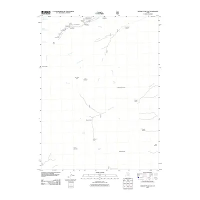
2011 Map of Deseret Peak East
USGS Topo · Published 2011About this map
Deseret Peak dominates this high-elevation terrain in Tooele County, where the Stansbury Mountains reveal a network of canyons and glacial features. The Silver Drum Mine sits tucked into a side fork of South Willow Creek, a remnant of the region's mineral prospecting history. This 2011 survey details a landscape defined by recreational infrastructure, including the Medina Flat Trailhead and multiple sites such as the Boy Scout Campground and Intake Campground.
Find a feature on this map
41 named features on this map. Tap any name to fly to it.
Don’t see what you’re looking for? This feature index may not catch every label — zoom into the map to look around manually.
Map Details
Editions of this 2011 Deseret Peak East Map
This is the sole edition of this map. No revisions or reprints were ever made.
Other maps of this area

1885 · Tooele Valley
USGS Topo · 1:250,000

1918 · Stockton
USGS Topo · 1:62,500

1953 · Tooele
USGS Topo · 1:250,000

1955 · Timpie
USGS Topo · 1:62,500

1955 · Deseret Peak
USGS Topo · 1:62,500

1955 · Grantsville
USGS Topo · 1:24,000

1955 · Stockton
USGS Topo · 1:62,500

1955 · Tooele
USGS Topo · 1:250,000

1979 · Rush Valley
USGS Topo · 1:100,000
1979 · Tooele
USGS Topo · 1:100,000