
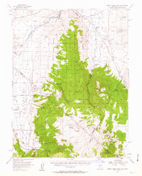
1956 Map of Desert Creek Peak
USGS Topo · Published 1958About this map
Mining and ranching define this high-altitude border region between Nevada and California, centered on the Sweetwater Mountains and Toiyabe National Forest. The map documents a rugged landscape where early water infrastructure, including various Canals and Ditches, supported agricultural operations like Rosaschi Ranch and Desert Creek Ranch. Mineral exploration is evident throughout the terrain, from the Boulder Hill Mine in the north to the Rickey Mine further south. The Von Schmidt Line (1872) provides a distinct historical marker of the original boundary survey between the two states, cutting across the Wellington Hills. Lowland areas like Smith Valley and Little Antelope Valley contrast with the massive peaks of East Sister and Desert Creek Peak, showing the complex logistics of settlement near Topaz and Hoye Bridge.
Find a feature on this map
75 named features on this map. Tap any name to fly to it.
Don’t see what you’re looking for? This feature index may not catch every label — zoom into the map to look around manually.
Map Details
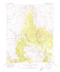
Editions of this 1956 Desert Creek Peak Map
3 editions found
Other maps of this area

1889 · Markleeville
USGS Topo · 1:125,000

1891 · Markleeville
USGS Topo · 1:125,000

1891 · Wellington
USGS Topo · 1:125,000

1893 · Markleeville
USGS Topo · 1:125,000

1893 · Wellington
USGS Topo · 1:125,000

1896 · Dardanelles
USGS Topo · 1:125,000

1898 · Dardanelles
USGS Topo · 1:125,000

1909 · Bridgeport
USGS Topo · 1:125,000

1911 · Bridgeport
USGS Topo · 1:125,000

1920 · Bridgeport
USGS Topo · 1:125,000