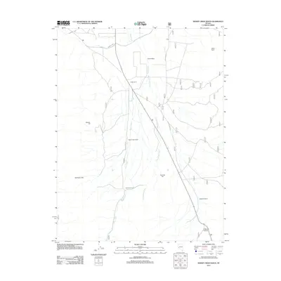
2012 Map of Desert Creek Ranch
USGS Topo · Published 2012About this map
Smith Valley and its surrounding high-desert terrain define this western Nevada landscape, where water management is central to the local geography. The Plymouth Canal and Saroni Canal cut across the northern flats, essential infrastructure for the agricultural operations that sustain the Hudson Ranch and Desert Creek Ranch. These ranching sites, coupled with the Desert Creek Airport, serve as the primary human touchpoints in an otherwise open expanse of sage and scrub. The terrain is marked by significant elevations like Boulder Hill and the Wellington Hills, while drainage is carved through the earth via Desert Creek and the deep cuts of Dalzell Canyon and O'Banion Canyon. This 2012 survey illustrates a modern ranching corridor where historical water rights and isolated airstrips maintain the viability of remote desert homesteads.
Find a feature on this map
16 named features on this map. Tap any name to fly to it.
Don’t see what you’re looking for? This feature index may not catch every label — zoom into the map to look around manually.
Map Details
Editions of this 2012 Desert Creek Ranch Map
This is the sole edition of this map. No revisions or reprints were ever made.
Other maps of this area

1891 · Wellington
USGS Topo · 1:125,000

1893 · Wellington
USGS Topo · 1:125,000

1948 · Walker Lake
USGS Topo · 1:250,000

1956 · Desert Creek Peak
USGS Topo · 1:62,500

1957 · Walker Lake
USGS Topo · 1:250,000

1957 · Wellington
USGS Topo · 1:62,500

1957 · Yerington
USGS Topo · 1:62,500

1958 · Pine Grove Hills
USGS Topo · 1:62,500

1962 · Walker Lake
USGS Topo · 1:250,000

1964 · Walker Lake
USGS Topo · 1:250,000