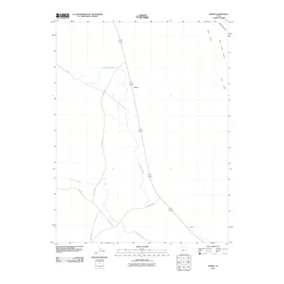
2011 Map of Desert
USGS Topo · Published 2011About this map
Desert serves as a central focal point in this high-desert landscape, situated where the primary corridor of 6 191 cuts through the arid terrain of Emery County. The topography is defined by significant geological formations to the east, notably the Book Cliffs and the steep recesses of Blue Castle Canyon near Middle Mountain. The drainage patterns of Lost Spring Wash and Cottonwood Wash illustrate the intermittent water systems that dictate the layout of local infrastructure, including ranch and utility routes like Smith Camp Rd and County Rd 1031. Further south, the map identifies the location of Sphinx, while Trail Spring marks a rare water source in an otherwise parched environment. This survey provides a clear view of the transportation and hydrological networks essential for navigating the corridor between the cliffs and the flats.
Find a feature on this map
12 named features on this map. Tap any name to fly to it.
Don’t see what you’re looking for? This feature index may not catch every label — zoom into the map to look around manually.
Map Details
Editions of this 2011 Desert Map
This is the sole edition of this map. No revisions or reprints were ever made.
Other maps of this area

1885 · San Rafael
USGS Topo · 1:250,000

1886 · Price River
USGS Topo · 1:250,000

1896 · Price River
USGS Topo · 1:250,000

1953 · Beckwith Peak SW
USGS Topo · 1:24,000

1953 · Tidwell 2 NW
USGS Topo · 1:24,000

1954 · Tidwell 2 NE
USGS Topo · 1:24,000

1954 · Tidwell 1 NW
USGS Topo · 1:24,000

1954 · Tidwell Bottoms
USGS Topo · 1:62,500

1954 · Green River
USGS Topo · 1:62,500

1956 · Salina
USGS Topo · 1:250,000