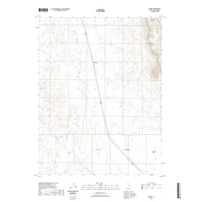
2020 Map of Desert
USGS Topo · Published 2020About this map
Desert serves as a central point of reference in this arid Emery County landscape, situated along the primary north-south transport corridor that bisects the region. The terrain is defined by dramatic elevation changes to the northeast, where Mid Mtn and the striking Book Cliffs rise above the surrounding flats. These geological formations overlook Blue Castle Canyon, creating a complex vertical geography that contrasts with the more open spaces to the south.
Find a feature on this map
10 named features on this map. Tap any name to fly to it.
Don’t see what you’re looking for? This feature index may not catch every label — zoom into the map to look around manually.
Map Details
Editions of this 2020 Desert Map
This is the sole edition of this map. No revisions or reprints were ever made.
Other maps of this area

1885 · San Rafael
USGS Topo · 1:250,000

1886 · Price River
USGS Topo · 1:250,000

1896 · Price River
USGS Topo · 1:250,000

1953 · Beckwith Peak SW
USGS Topo · 1:24,000

1953 · Tidwell 2 NW
USGS Topo · 1:24,000

1954 · Tidwell 2 NE
USGS Topo · 1:24,000

1954 · Tidwell 1 NW
USGS Topo · 1:24,000

1954 · Tidwell Bottoms
USGS Topo · 1:62,500

1954 · Green River
USGS Topo · 1:62,500

1956 · Salina
USGS Topo · 1:250,000