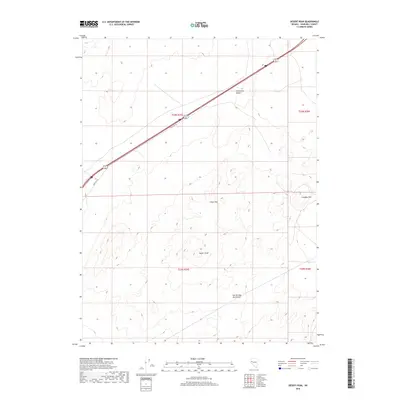
2018 Map of Desert Peak
USGS Topo · Published 2018About this map
The Fortymile Desert spans the northern reaches of this map, an area known for its historic role as a difficult segment for emigrant trails. The landscape is dominated by the Hot Springs Mountains, where Desert Peak and Green Hill rise above the surrounding arid floor. This 2018 survey documents a modern transportation corridor cutting diagonally across the high desert, centered on the Alt 95 highway and its associated Frontage Rd. For those interested in the mining history of Churchill County, Cinnabar Hill stands to the east, its name hinting at the geological resources once sought in these ranges. The map provides a clear look at the Public Land Survey System divisions, including sections of t23n r27e and t22n r27e, which are essential for tracing land ownership and early claims in this desert environment.
Find a feature on this map
12 named features on this map. Tap any name to fly to it.
Don’t see what you’re looking for? This feature index may not catch every label — zoom into the map to look around manually.
Map Details
Editions of this 2018 Desert Peak Map
This is the sole edition of this map. No revisions or reprints were ever made.
Other maps of this area

1890 · Wadsworth
USGS Topo · 1:125,000

1892 · Wadsworth
USGS Topo · 1:125,000

1894 · Wadsworth
USGS Topo · 1:125,000

1908 · Carson Sink
USGS Topo · 1:250,000

1910 · Carson Sink
USGS Topo · 1:250,000

1951 · Soda Lake
USGS Topo · 1:62,500

1951 · Desert Peak
USGS Topo · 1:62,500

1957 · Fireball Ridge
USGS Topo · 1:62,500

1957 · Two Tips
USGS Topo · 1:62,500

1957 · Reno
USGS Topo · 1:250,000