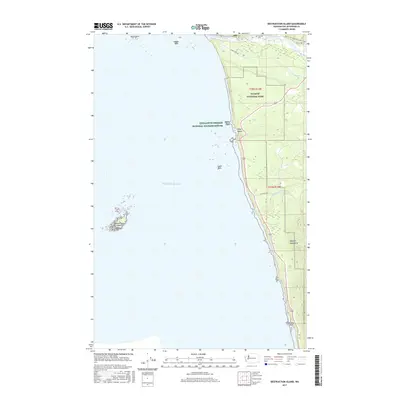
2017 Map of Destruction Island
USGS Topo · Published 2017About this map
Destruction Island sits off the rugged coastline of Jefferson County, serving as a prominent sentinel in the Pacific Ocean. This coastal landscape is defined by the protected boundaries of Olympic National Park and the offshore sanctuaries of the Quillayute Needles National Wildlife Refuge. The map details a shore composed of dramatic sea stacks and points, including North Rock, Middle Rock, and Abbey Island near Ruby Beach.
Find a feature on this map
24 named features on this map. Tap any name to fly to it.
Don’t see what you’re looking for? This feature index may not catch every label — zoom into the map to look around manually.
Map Details
Editions of this 2017 Destruction Island Map
This is the sole edition of this map. No revisions or reprints were ever made.
Other maps of this area
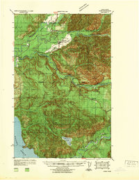
1939 · Forks
USGS Topo · 1:62,500
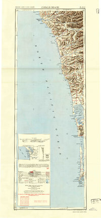
1943 · Copalis Beach
USGS Topo · 1:250,000
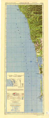
1951 · Copalis Beach
USGS Topo · 1:250,000
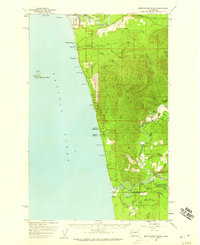
1956 · Destruction Island
USGS Topo · 1:62,500
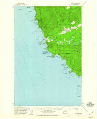
1956 · La Push
USGS Topo · 1:62,500
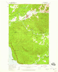
1957 · Forks
USGS Topo · 1:62,500
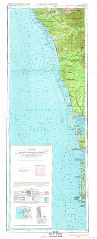
1957 · Copalis Beach
USGS Topo · 1:250,000
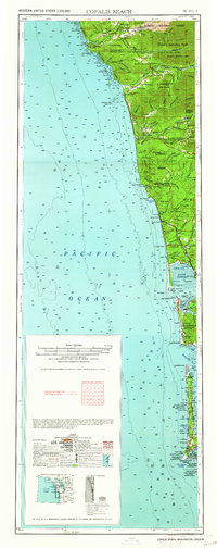
1963 · Copalis Beach
USGS Topo · 1:250,000
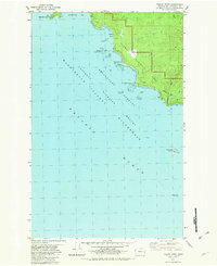
1982 · Toleak Point
USGS Topo · 1:24,000
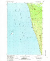
1982 · Destruction Island
USGS Topo · 1:24,000