
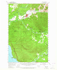
1957 Map of Forks
USGS Topo · Published 1959About this map
The Soleduck River, Calawah River, and Bogachiel River converge near the growing timber town of Forks, defining the hydraulic character of the Olympic Peninsula in the late 1950s. The landscape reflects a transition from early pioneer industry to organized state management, evidenced by the presence of an Old Railroad Grade and active Logging Railroad tracks winding through the river valleys. Educational and community focal points like Quillayute Valley H S and the Cassel Sch near the Hoh River serve the dispersed population.
Find a feature on this map
55 named features on this map. Tap any name to fly to it.
Don’t see what you’re looking for? This feature index may not catch every label — zoom into the map to look around manually.
Map Details
Editions of this 1957 Forks Map
Other maps of this area

1922 · Pysht
USGS Topo · 1:62,500

1935 · Ozette Lake
USGS Topo · 1:62,500

1935 · Lake Pleasant
USGS Topo · 1:62,500

1939 · Forks
USGS Topo · 1:62,500

1942 · Pysht
USGS Topo · 1:62,500

1942 · Ozette Lake
USGS Topo · 1:62,500

1942 · Lake Pleasant
USGS Topo · 1:62,500

1943 · Spruce Mountain
USGS Topo · 1:62,500

1943 · Copalis Beach
USGS Topo · 1:250,000

1951 · Copalis Beach
USGS Topo · 1:250,000